Page 5: Doin’ The Korona Crawl
Saturday 12th October
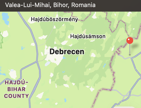
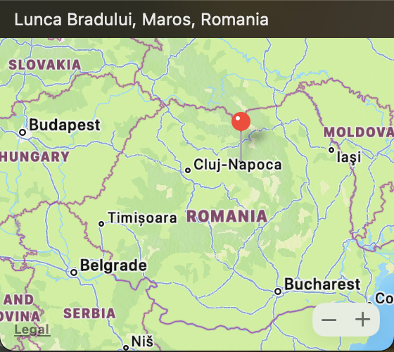
Eventually we enter Romania……..
… and traditional local version of a foot-crossing & low-level platform….
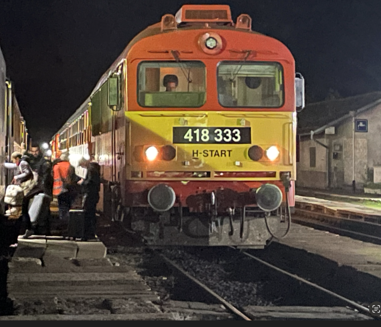
The train is now approximately 2 hours behind schedule
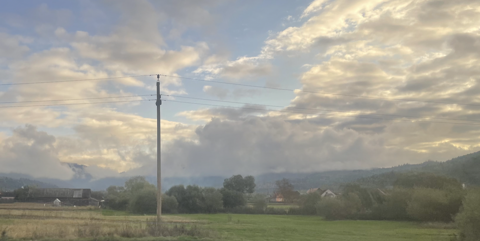
Dawn after a very wet night… and delay in Hungary. We are 2 hours late…. This is ok for us because we will see more of our journey through the hills.. and still have time explore Miercurea Ciuc before travelling on to Iași.
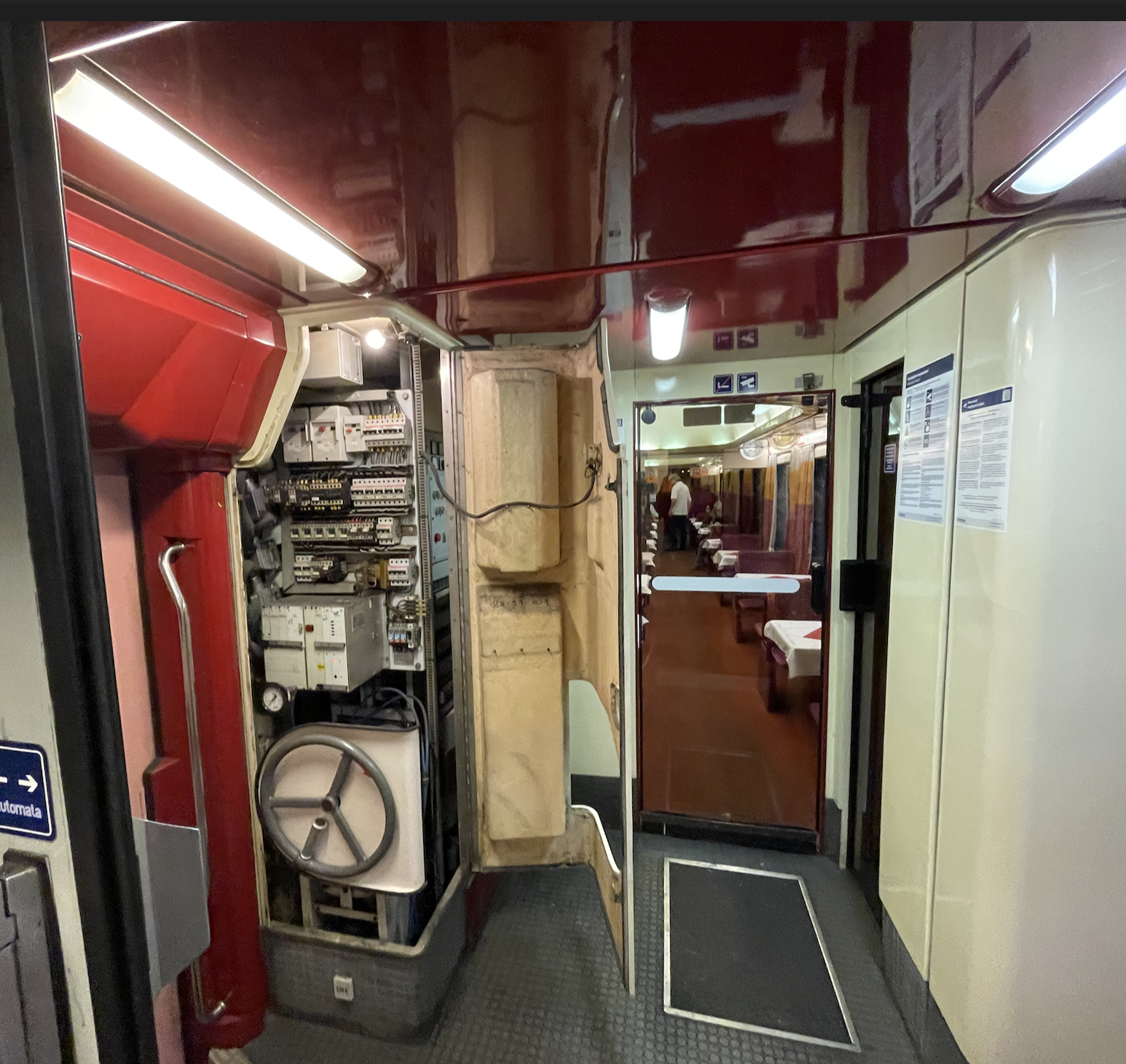
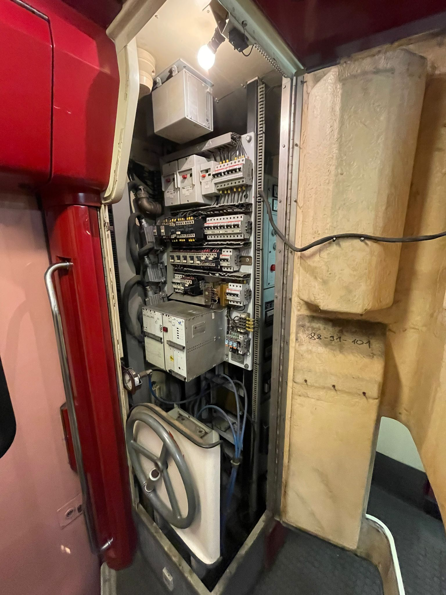
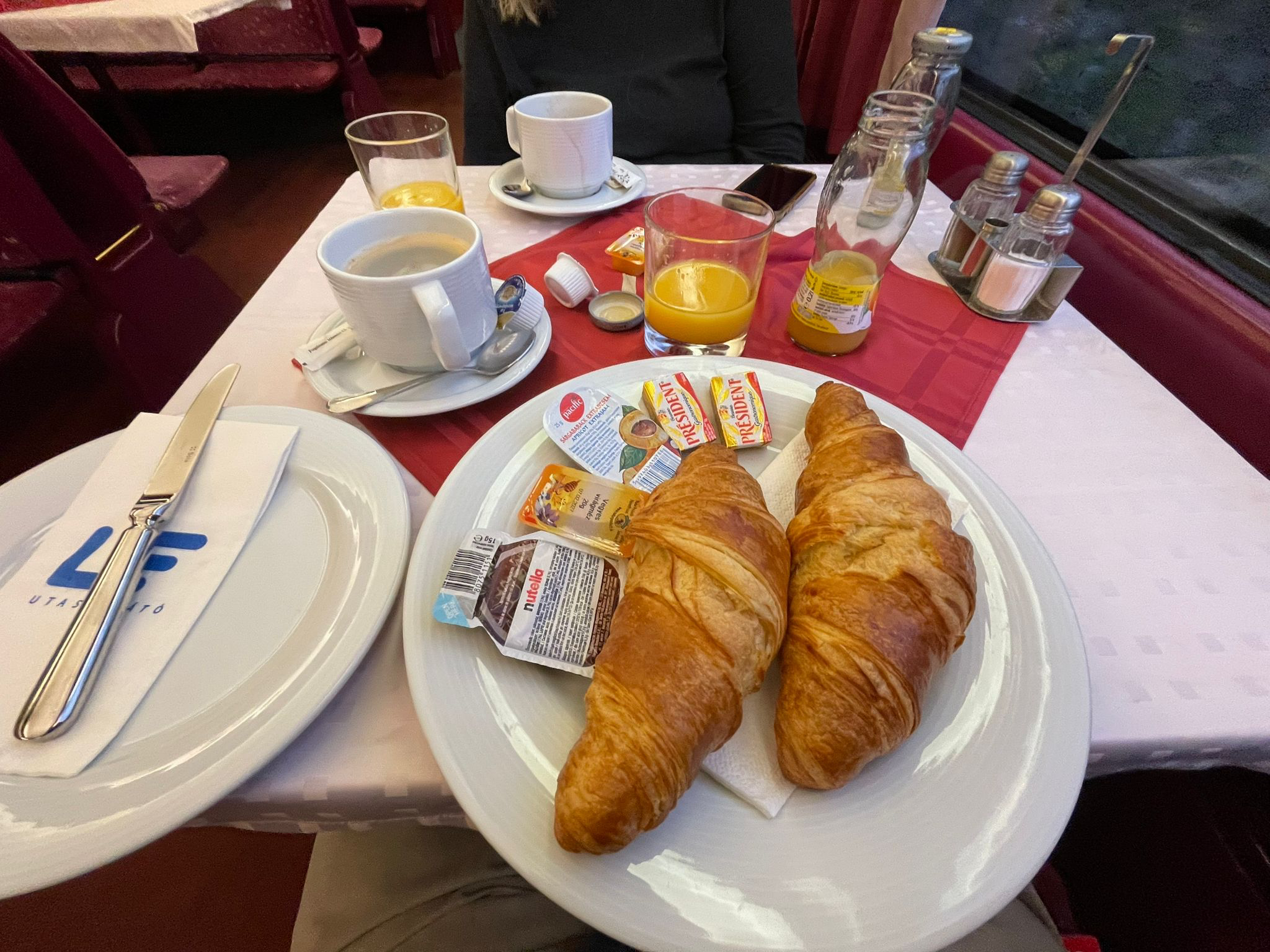
Strange walk through the train to be given breakfast…. There are so many aspects of Romania that are utterly fascinating…. One is a degree of curious carelessness…. The door to the controls left open and obstructing the carriage

Tracing a Complex Route
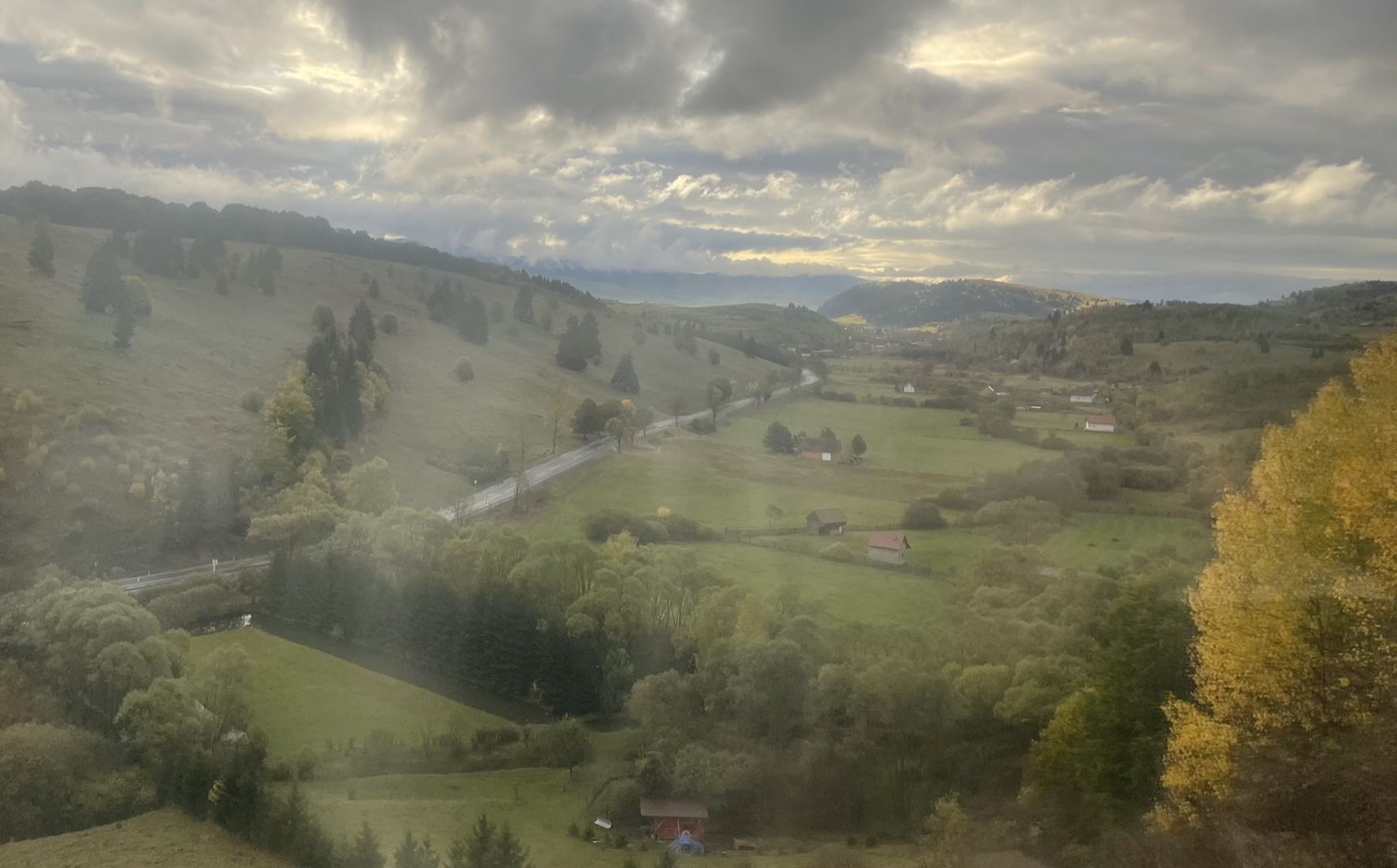
Due to Carpathian Hill Range & the tortuous river courses, Romania is a country with complex travel routes.
This journey passes through an area that is one of the least accessible in Romania but which provides a reasonably direct route to Iași.
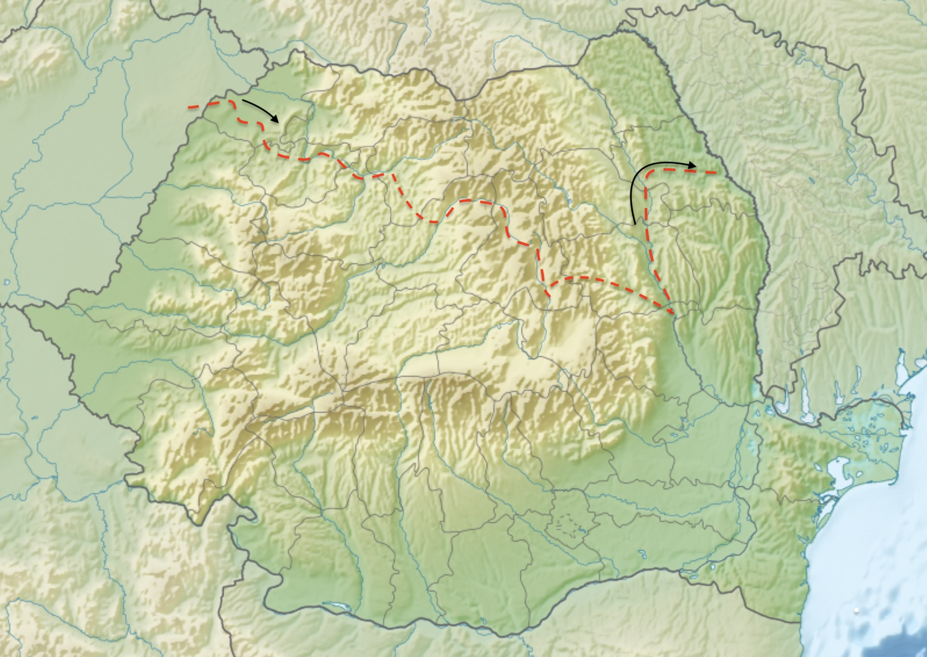
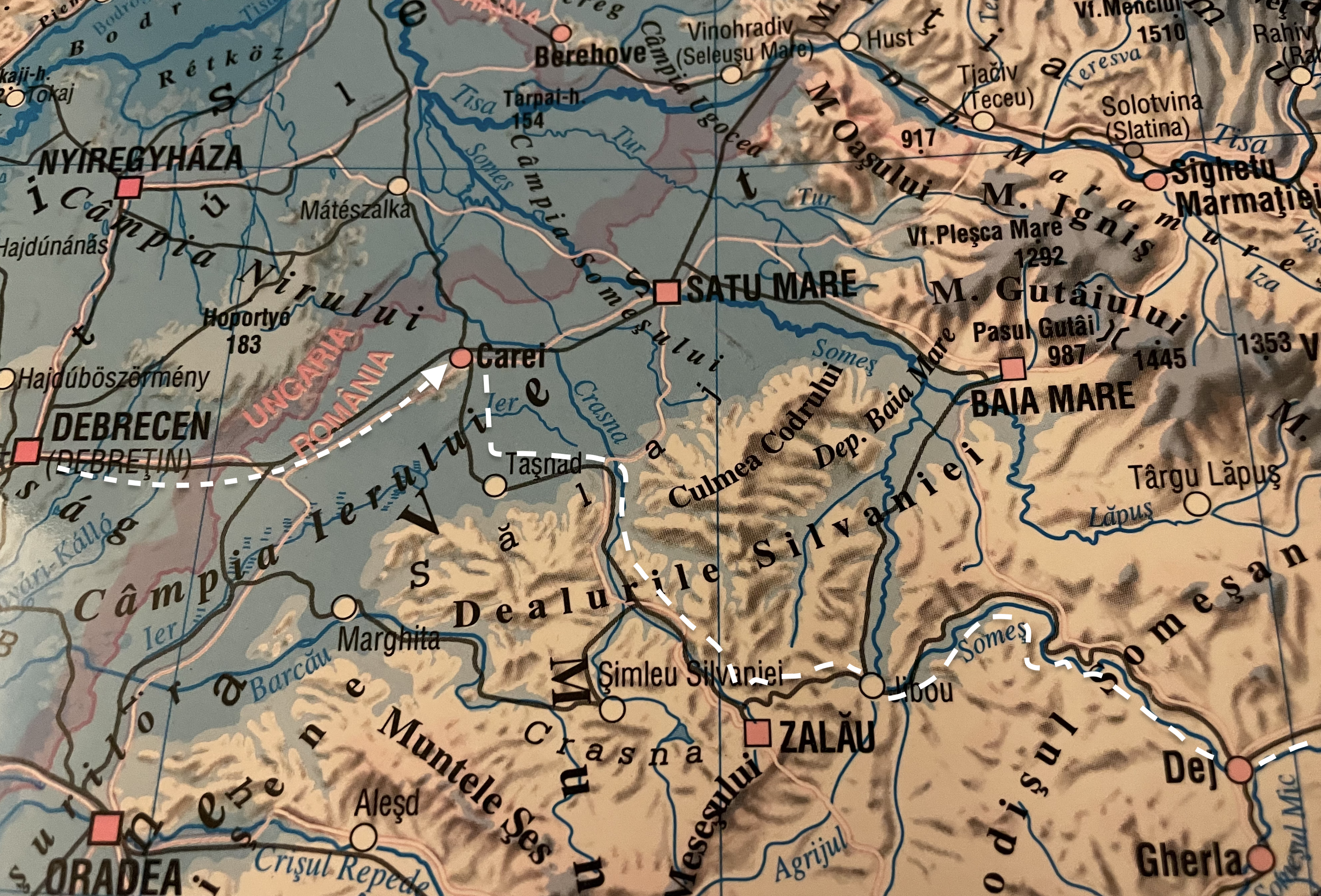
Our journey follows the Crasna River crosses the headwaters of another river, joins the north flowing Someș, follows a tributary & crosses into the Maros.
The Maros (Romanian: Mureș) – is, at some point, significant for most rail routes entering Romania from the west.
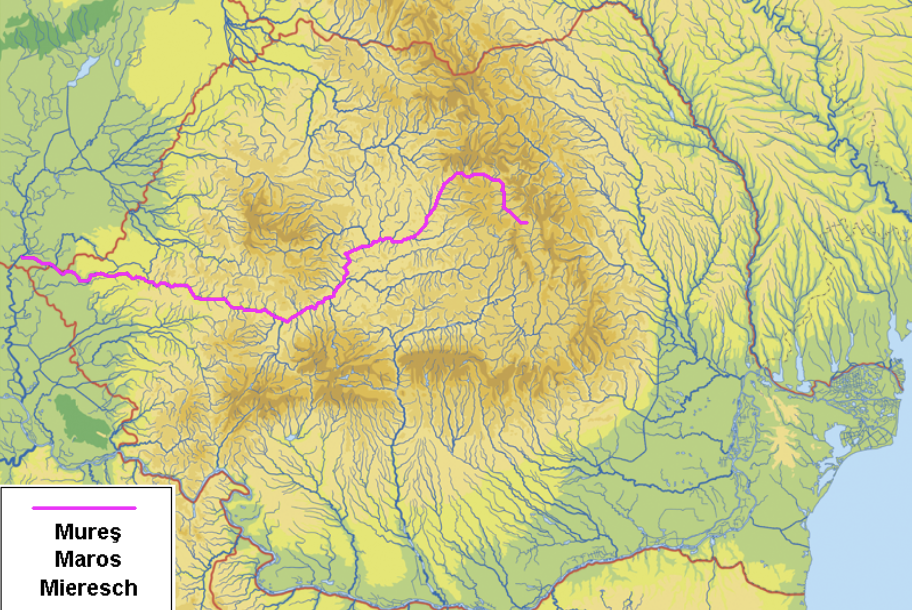
All Romanian rivers flow, eventually, into the Danube which, in its final part to the Black Sea, forms a boundary with Ukraine.
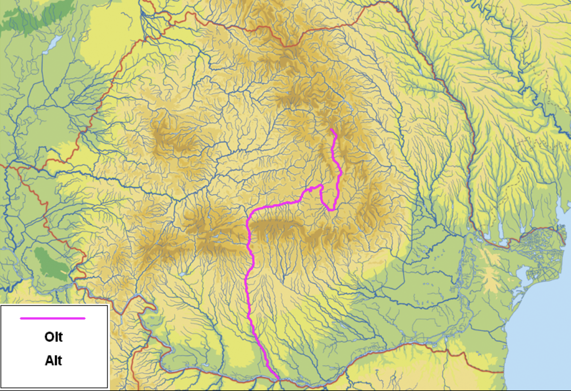
Our journey crosses from the Mureș into the Olt Valley
The route, in 3 pictures from Debrecen through the hills to Bacau.
First: to Dej
Our journey follows the Crasna River crosses the headwaters of another river, joins the north flowing Someș.
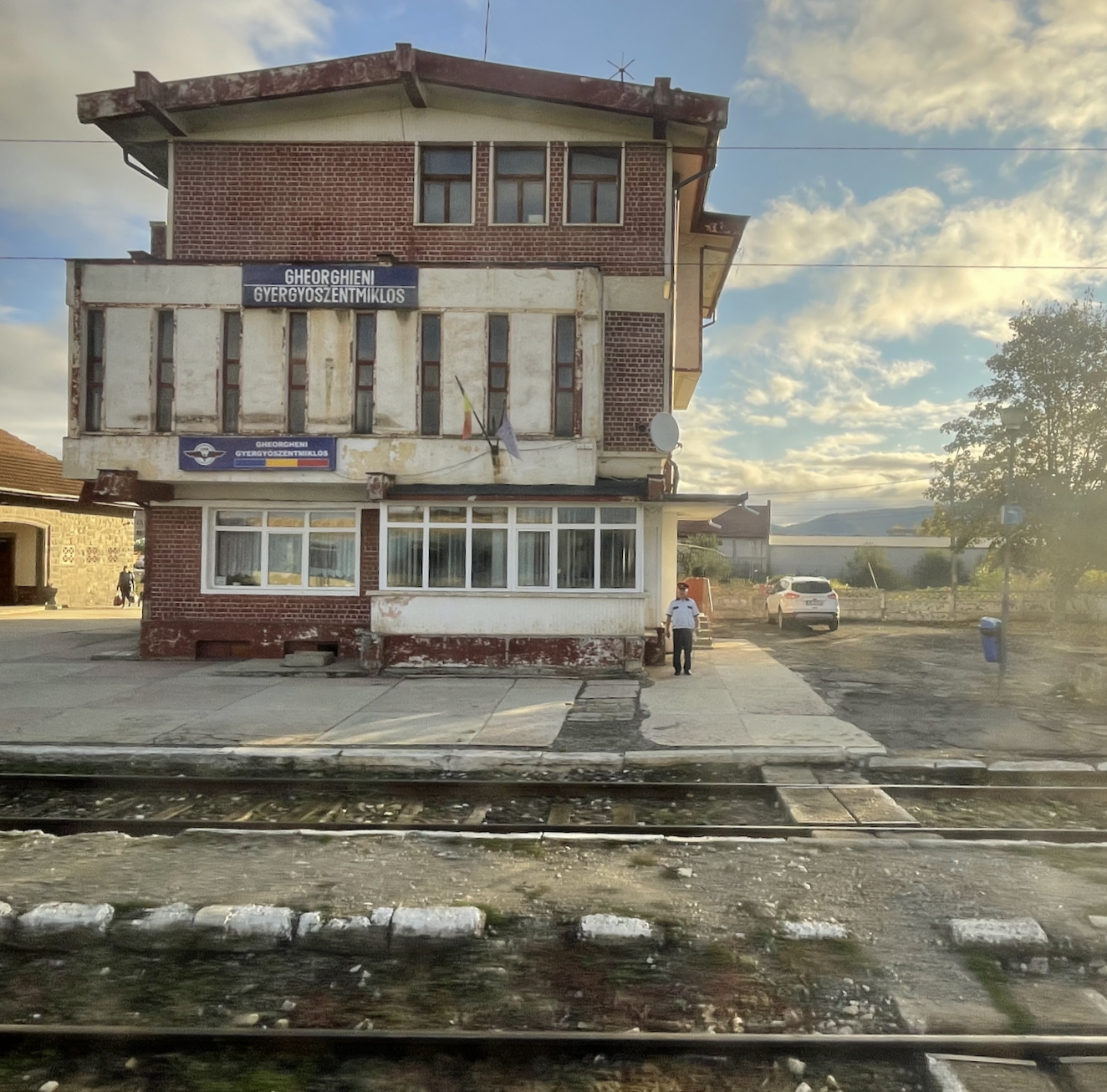
Second: to Gheorgheni
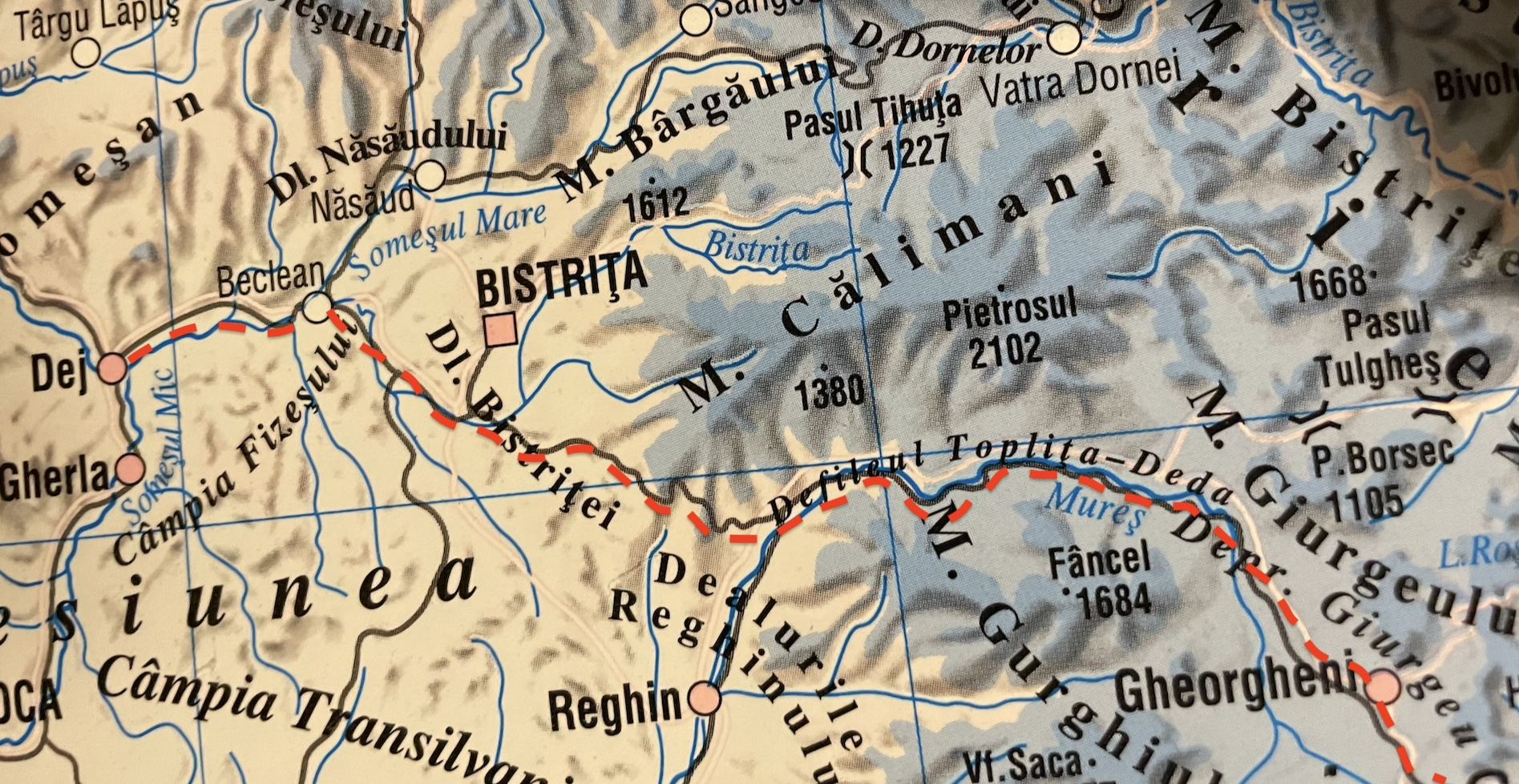
After Beclean the railway follows a tributary of the Someș & crosses into the Maros/Mureș valley.
Third: to Csíkszereda (Miercurea Ciuc)
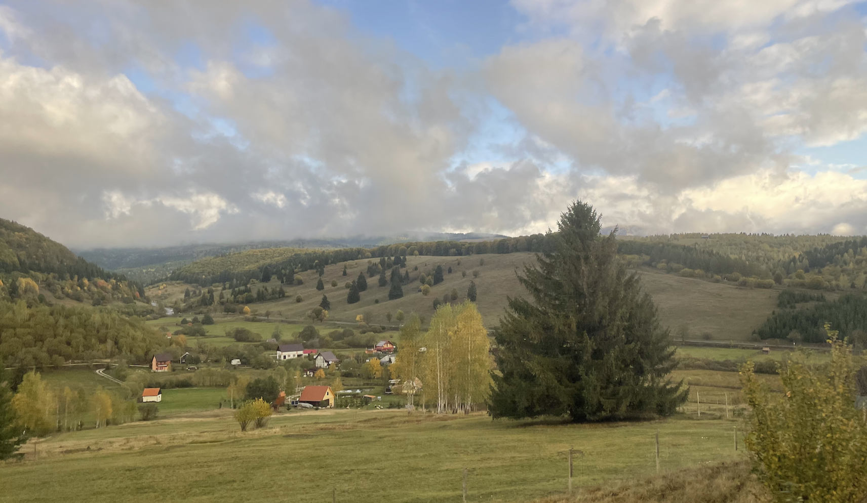
Following a lengthy gradual climb along the Toplița – Deda defile, the railway enters a more level upland region set between the High Hills, the Giurgeu Depression.
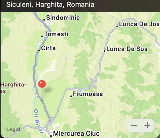
A further narrow ridge is crossed into the Ciuc Depression & joins another major Romanian river – The Olt, which snakes it way south (and remains within Romania).
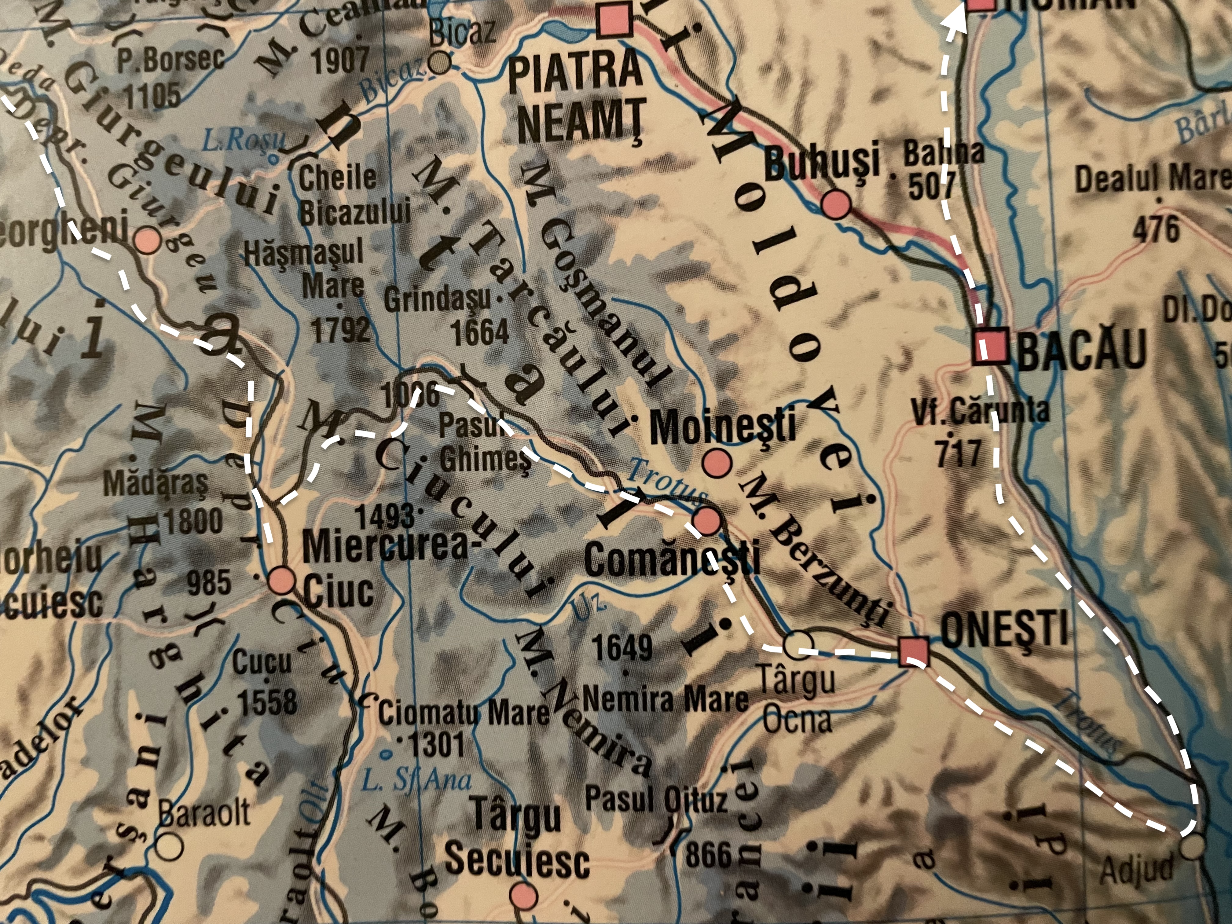
The route we follow to Iași leaves the mainline at Siculeni & winds its way up the side of the Racul Valley, through a tunnel & into the valley of the Trotus to the rail junction at Adjud in the Siret valley.
The following map highlights the physical features of the route we follow through the Carpathian hills

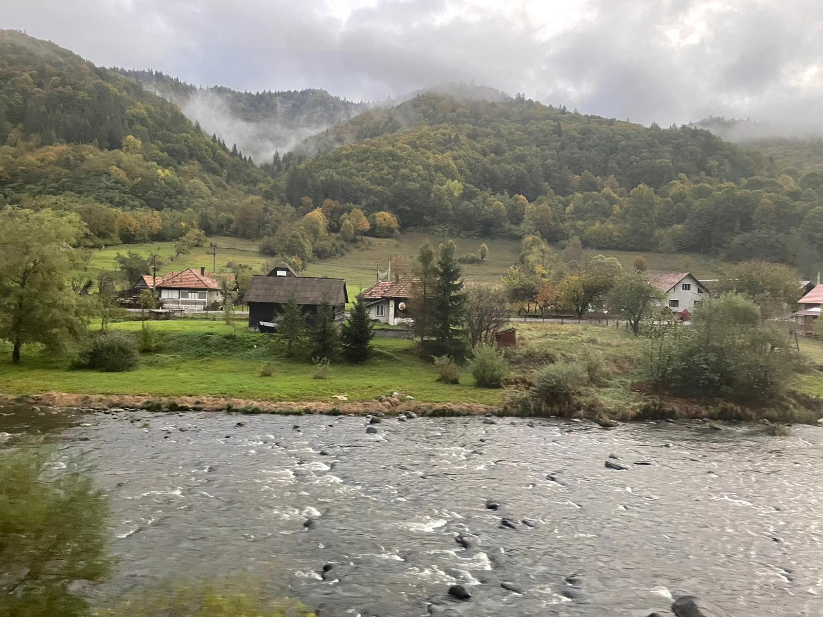
Through the Toplița-Deda Defile

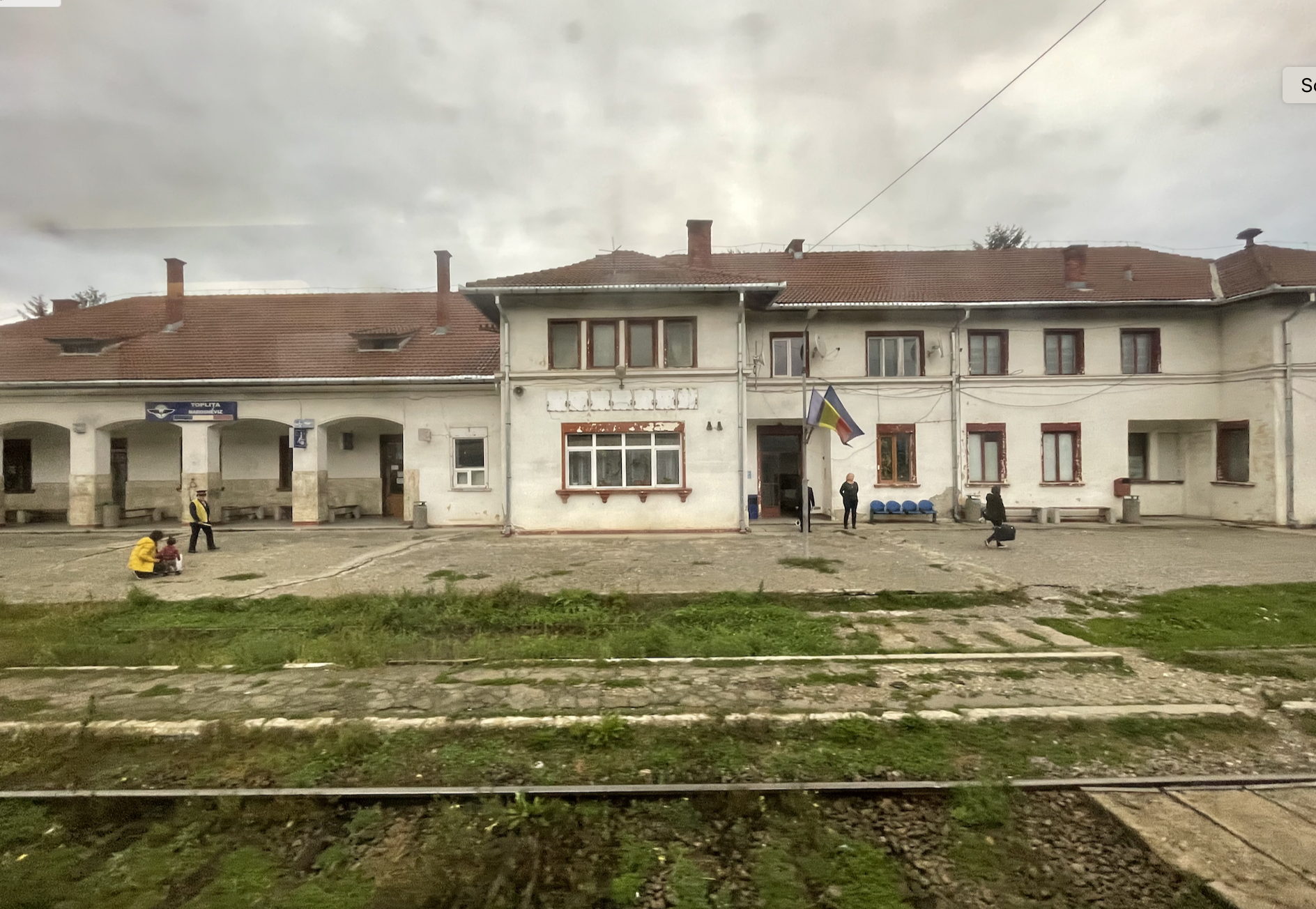
Toplița
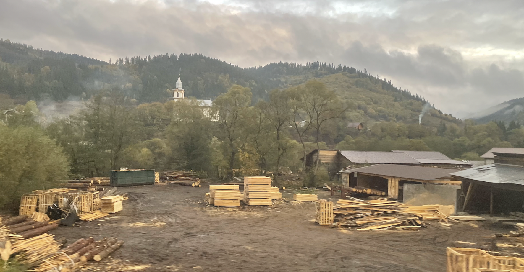
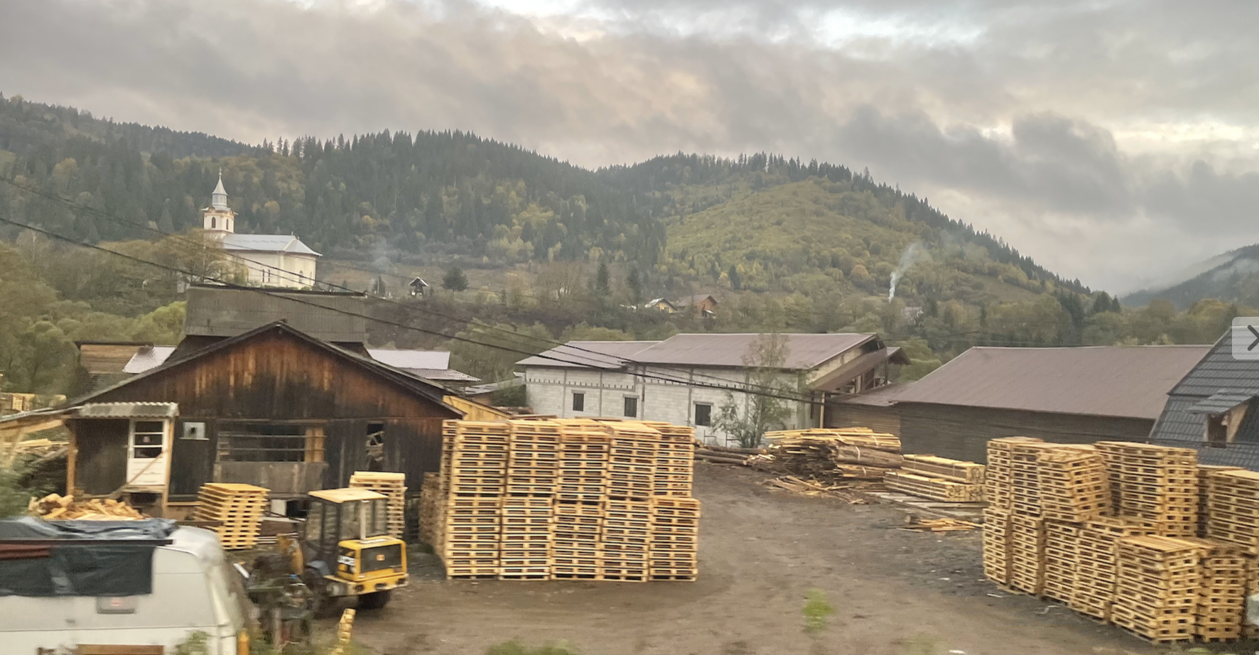
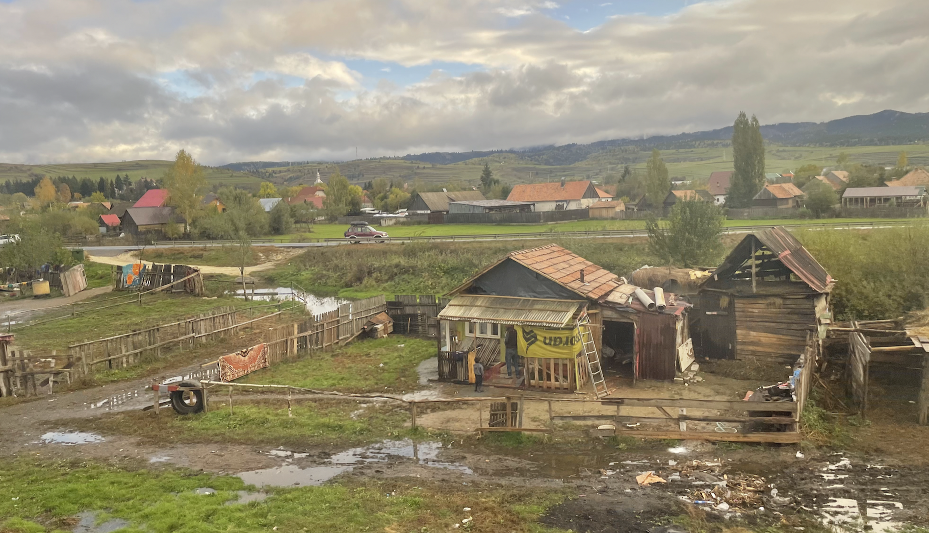
Amongst the natural beauty lie the places and remnants of the failed communist social & economic system.
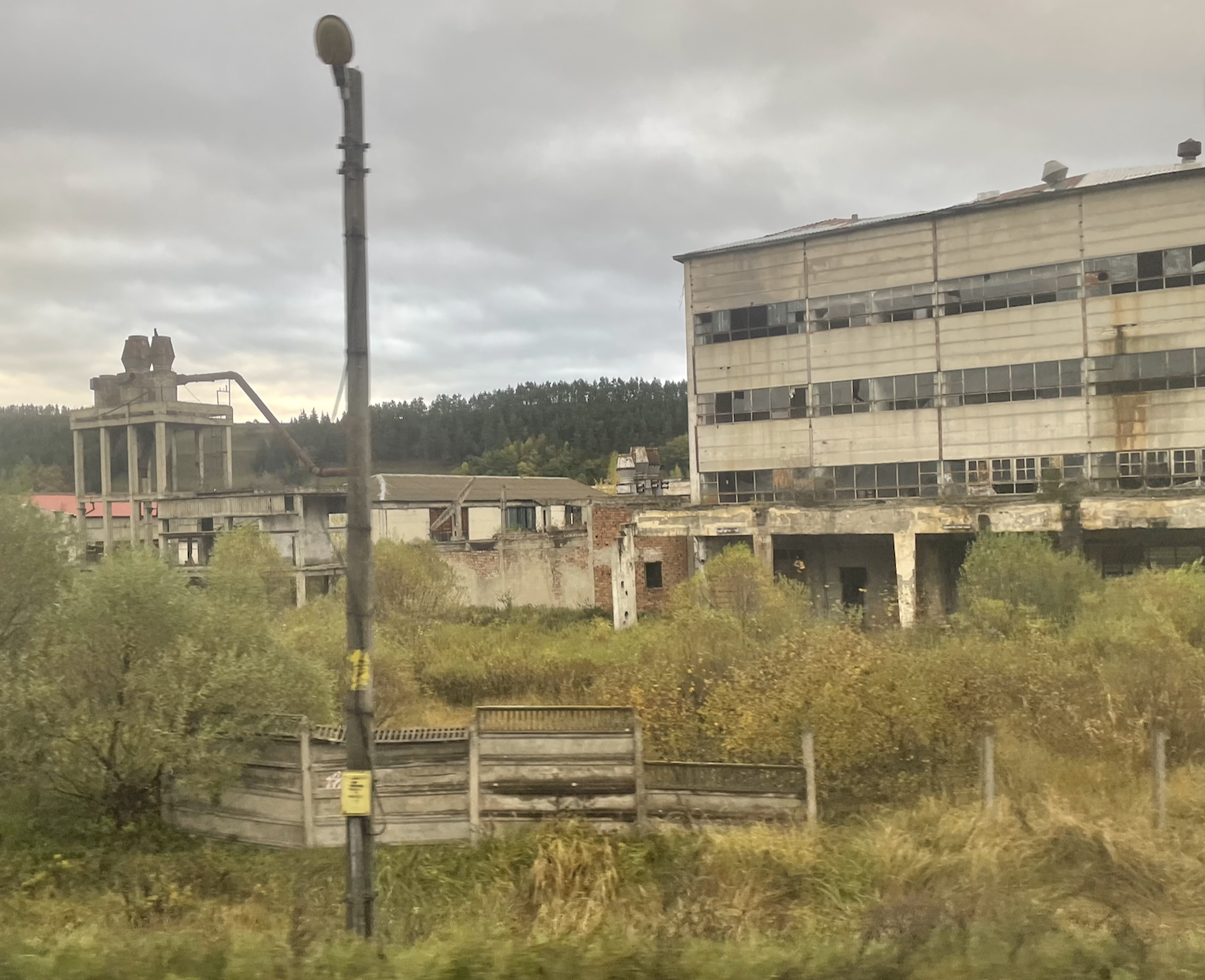

[A similar statement could be made about the contrasting economic systems of The West – where settlements physically demonstrate their poverty…. but generally speaking there has been a greater degree of ‘tidying-up’ once an industry has failed or been abandoned.]
Toplița
Toplița is a municipality in Harghita County, Transylvania, Romania. The settlement has had multiple name changes: Taplócza, Toplicza, Gyergyó-Toplicza, from February 3, 1861 Oláh-Toplicza, or “Romanian Toplița”, then from January 1, 1907 Maroshévíz, until 1918, when it received the Romanian name Toplița Română. Both the Romanian and the Hungarian name mean “hot water spring”; the former is a Romanian word of Slavic origin.
Wikipedia
It is not the famous ‘manicured’ places that automatically attract but those that somehow retain or represent the varieties of human effort and experience (good or/and bad). They produce a meditative response – ultimately, in my case & in regard to human competence & capability, somewhat fatalistic.
We passed the town – and the observations led to further enquiry & discovery of an interesting place & history that stimulated further contemplation (and maybe a future visit).
Lesson:
Never trust the initial impression produced from a railway line (Birmingham & Manchester UK are good examples)
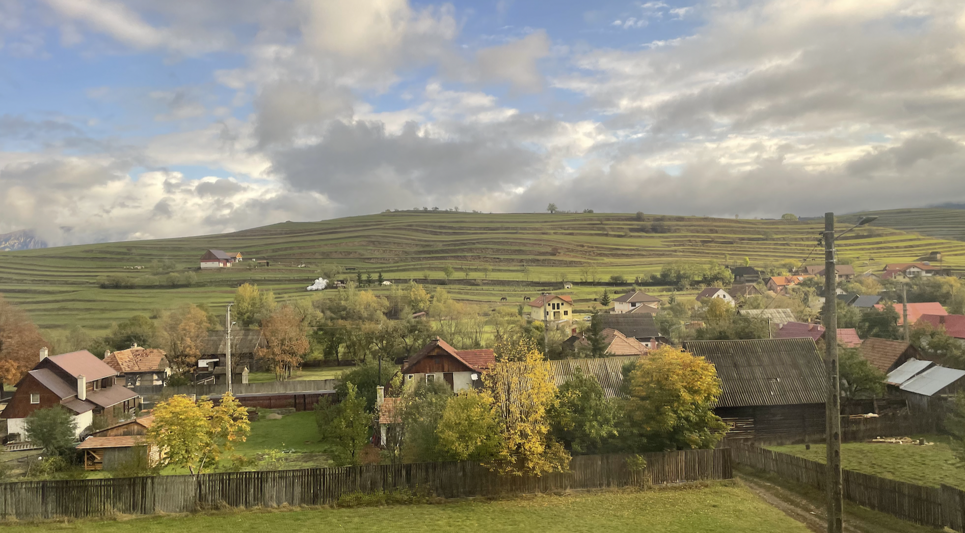
Deep narrow gorges lead to areas of upland plain – in this case, at 800 metres high, with the municipality of Gyergyószentmiklós (Gheorgeni), the name related to the surrounding hills.

Much has changed since Communist Rule ended but governments have seemed incapable of renovating & modernising important infrastructure….. though have retained most of the extensive railway system.
Is this curiosity, presumably a snow-plough, still in ‘active service’?

At the top of the climb up the Maros valley is the settlement of Voslobeni. The introduction to one of its web pages reveals much of the Romanian post-communist received understanding of themselves (but which through greater international inclusion has gradually changed).
If you love the mountain and have the courage to face it at an altitude of almost 1000 m, in the Giurgeului depression surrounded by the Giurgeului Mountains to the east and the Gurghiului to the west, at the source of the two twin rivers – Mureşul and Oltul (witnesses of the sufferings of the Romanian nation) you will meet a village of peaceful, hardworking people with love for their land, even if less fruitful.
https://voslobeni.ro/cadru-geografic-al-localitatatii-voslobeni/

The route of our return journey from Brașov heads north to join & follow the Maros into Hungary.
Over a narrow ridge of hill & into the Olt Valley


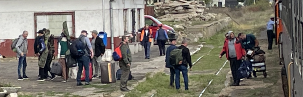
At Siculeni, last night’s drinkers departed….
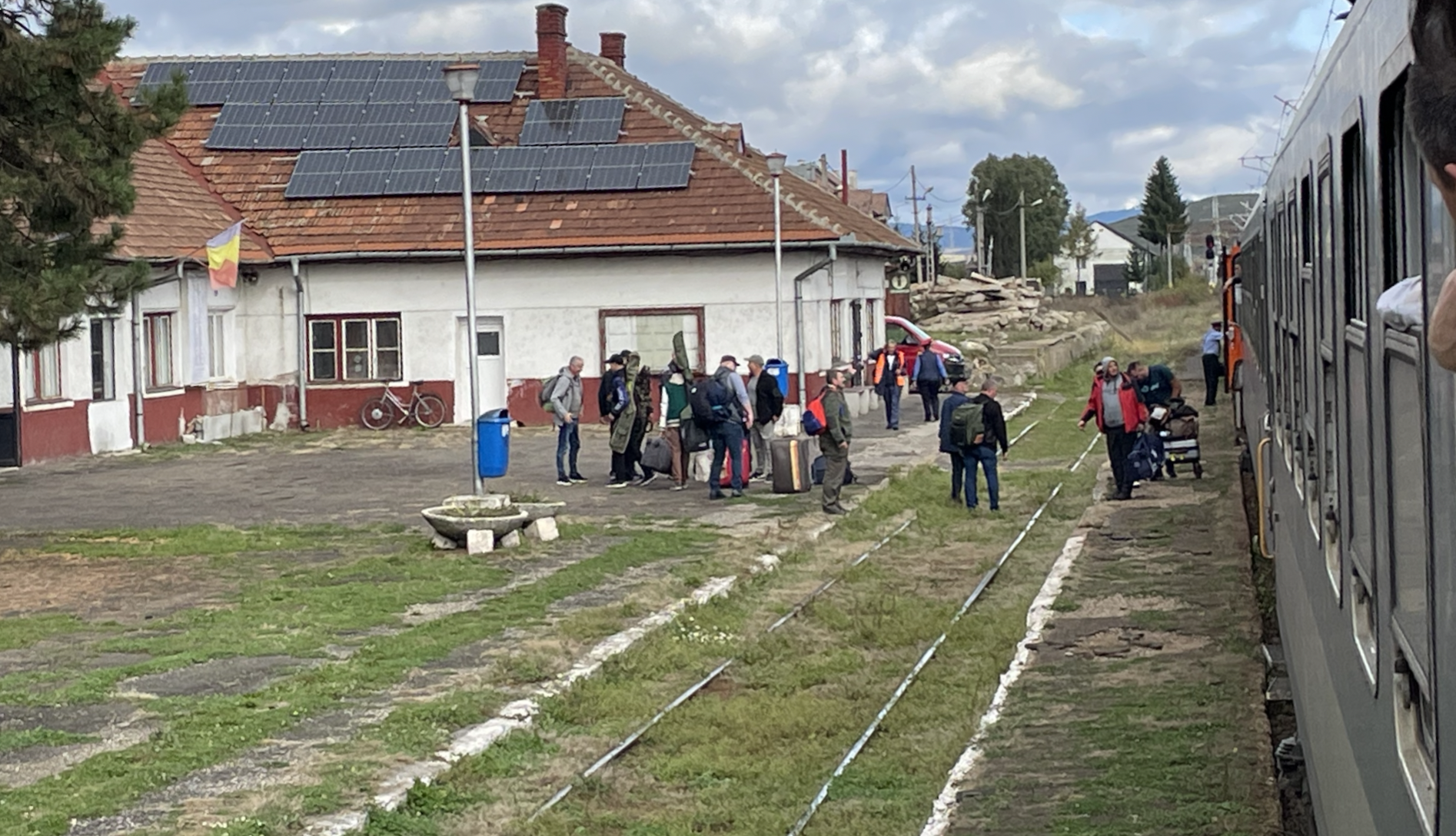
……but it took several minutes to unload their baggage.
Were they a hunting party?